Midtown-St. Albans Area Plan Survey
Midtown-St. Albans Area Plan Survey
The Midtown-St. Albans Area Plan is focused on examining issues and opportunities in the Midtown area. This survey will help us prioritize these issues based on your feedback. Thank you for your participation!
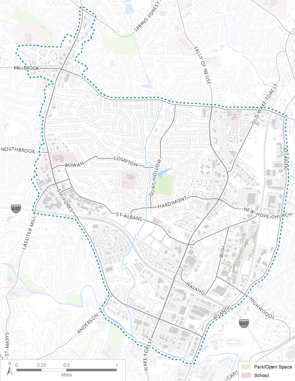
This map of Midtown shows the study area for this plan, which is outlined by the dashed green line. It generally extends from Six Forks Road in the west to Millbrook Road in the north, Atlantic Avenue in the east, and Six Forks and Crabtree Creek in the south.
TRANSPORTATION QUESTIONS
HOUSING AND LAND USE QUESTIONS
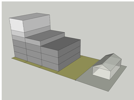
Illustration of height and space transition between taller mixed-use buildings and smaller residential buildings, akin to what can be seen between North Hills and St. Albans Dr.
PUBLIC SPACES AND AMENITIES QUESTIONS
The following questions ask about you and your background. This information allows us to get a sense of who our survey has reached and what issues might be more important in different parts of the study area. Please note that your responses will be used solely for data collection and will be visible only to the survey administrator. These questions are optional.
Conclusion
Thanks for sharing your thoughts! We have registered your inp[ut and hope you continue to stay involved. To stay informed about the project, go to raleighnc.gov and use the keyword: “Midtown” to search for the project page. There you can sign up for email updates to keep you informed about the progress.


