Close the GAP Survey
Close the GAP Survey
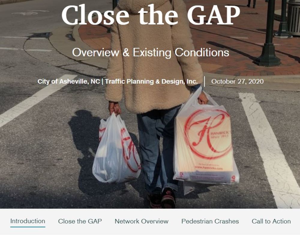
The City of Asheville is underway in a project to update the City’s Greenway (G), Accessibility (A), and Pedestrian (P) Plans. The combined plan, which we’re referring to as “Close the GAP”, will look to update and expand the network of accessible sidewalks and greenways for our community. In addition, we will be recommending policy and design standard updates.
Please help us build these plans that will guide the future for a multimodal Asheville. The following survey will take no longer than 15 minutes. If you have a disability, please also take the separate survey for the ADA Transition Plan after you have completed this survey. Thank you!
NOTE: This platform does not work well in Internet Explorer/Microsoft Edge, so if you are having technical issues, please try a different internet browser.