Concept Plan for Bicycle and Pedestrian Improvements along US 40 (Phase 2)
Concept Plan for Bicycle and Pedestrian Improvements along US 40 (Phase 2)
 BMC partnered with Harford County to develop a concept plan for bicycle and pedestrian improvements along a 5-mile segment of US 40 in Harford County from the City of Aberdeen to the City of Havre de Grace. Three potential concept options were explored in the first phase with two options recommended for further study based on community feedback and design considerations. The proposed shared-use path for all options would be asphalt, 10 feet in width (8 foot minimum where necessary due to constraints) and include a grass buffer between the shared-use path and the closest edge of the roadway travel lane and would connect to transit and neighborhoods.
This concept plan will be used to develop future phases of design/construction and may be used to guide design standards for future development along the corridor.
Overview
Overview of the Project
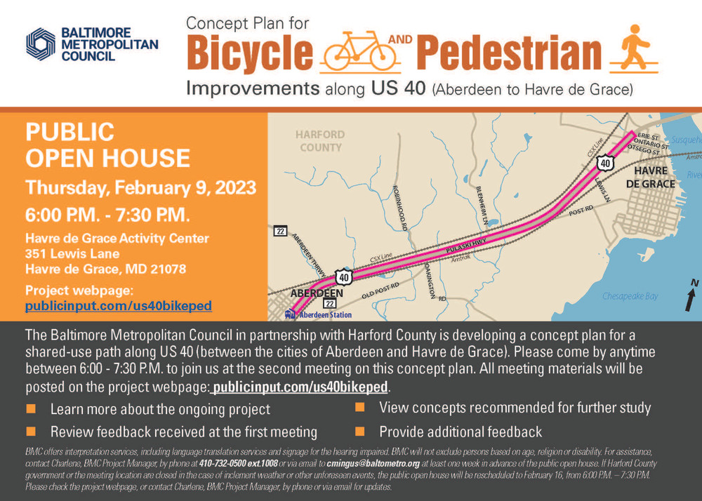
Baltimore Metropolitan Council (BMC), on behalf of the Baltimore Regional Transportation Board (BRTB) and Harford County, is developing a Concept Plan for Bicycle and Pedestrian Improvements along US 40 from the City of Aberdeen to the City of Havre de Grace.
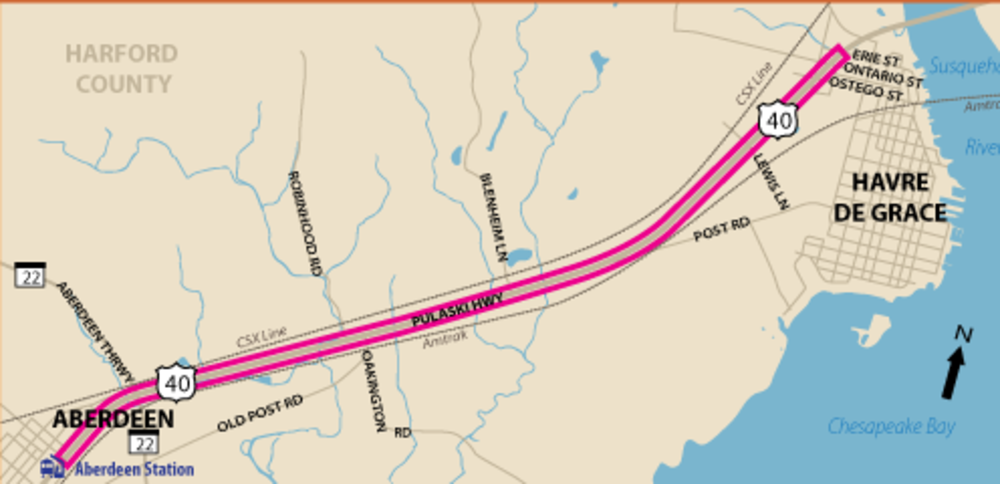
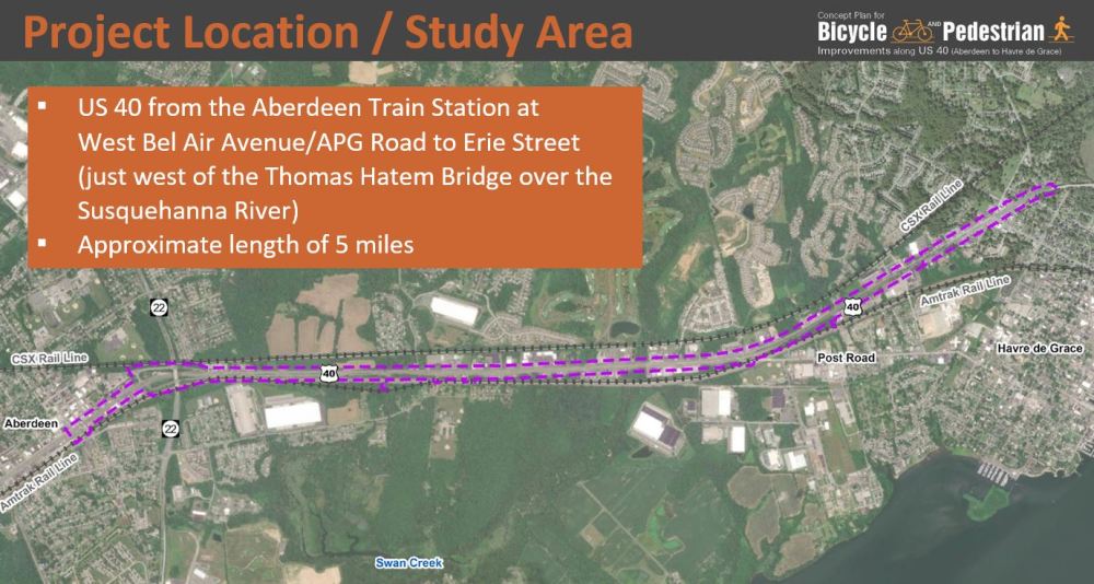
The concept plan will examine an approximately 5 mile segment of US 40 (Pulaski Highway) in Harford County, Maryland between the train station in the City of Aberdeen and Erie Street in the City of Havre de Grace. This project is located approximately 30 miles north of Baltimore and 20 miles south of Elkton, MD. The corridor serves a diverse traffic mix including local, long-distance commuter, regional traffic and freight traffic. The roadway is a divided four-lane principal urban arterial with speed limits varying between 30 and 55 miles per hour and carries over 30,000 vehicles a day on average.
Goals of the Project
- Develop concept level design for a comfortable, convenient and safe shared‐use path along US 40 that connects to transit, businesses and neighborhoods
- Outline strategies for wayfinding
- Develop an implementation and maintenance strategy
This concept plan will be used to develop future phases of design/construction and may be used to guide design standards for future development along the corridor.
Exploring Alternative Options
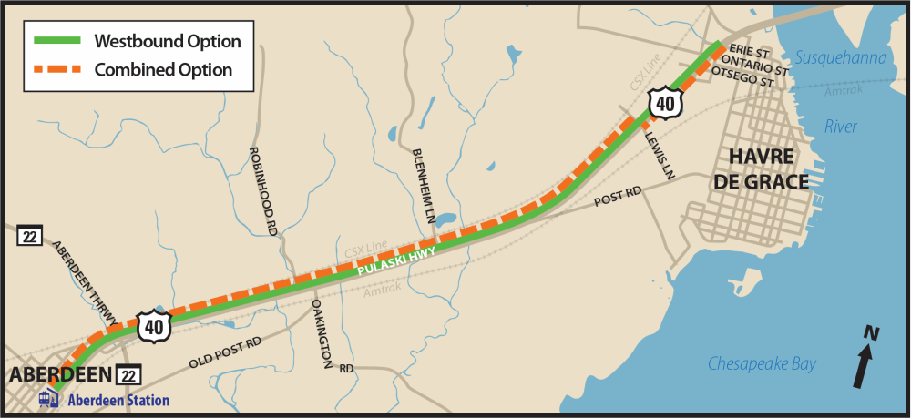
As part of the process to develop this Concept Plan for Bicycle and Pedestrian Improvements along US 40, three potential concept options were explored in the first phase; the Westbound Option, the Eastbound Option and the Combined Option. Based on community feedback and design considerations, the Westbound Option and Combined Option were recommended for further study.
The proposed shared-use path for all options would be asphalt, 10 feet in width (8 foot minimum where necessary due to constraints) and include a grass buffer between the shared-use path and the closest edge of the roadway travel lane.
Click continue below or on the tabs above to learn more.
Check out the presentation below on the options recommended for futher study or view a PDF of the presentation: