 Chavis-Dix Strollway
Chavis-Dix Strollway
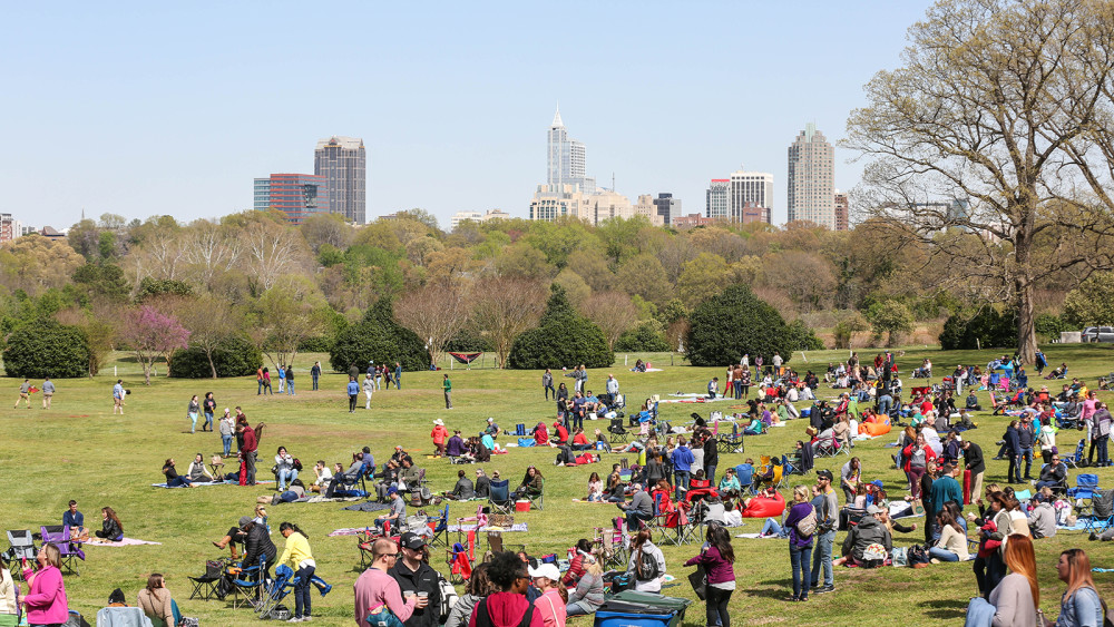
The City of Raleigh is making significant investments in the historic Chavis Memorial Park and the new Dorothea Dix Park. These are both important landscapes and demonstrate commitment to creating equitable public spaces for all to enjoy. The city is excited to launch planning efforts focused on the implementation of a strollway that would connect these two historic parks. The strollway is a concept introduced with the Dix Master plan in 2020.
We want to hear from you to know which is your preferred Chavis-Dix Strollway route.
Step 1
What ZIP code do you live in?
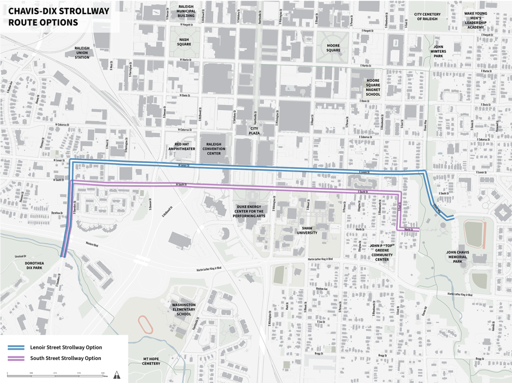
Do you live within a 10-minute walking distance from the proposed Chavis-Dix Strollway?
Do you work within a 10-minute walking distance from the proposed Chavis-Dix Strollway?
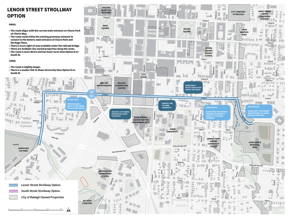
What do you like about the Lenoir Street route?
What do you dislike about the Lenoir Street route?
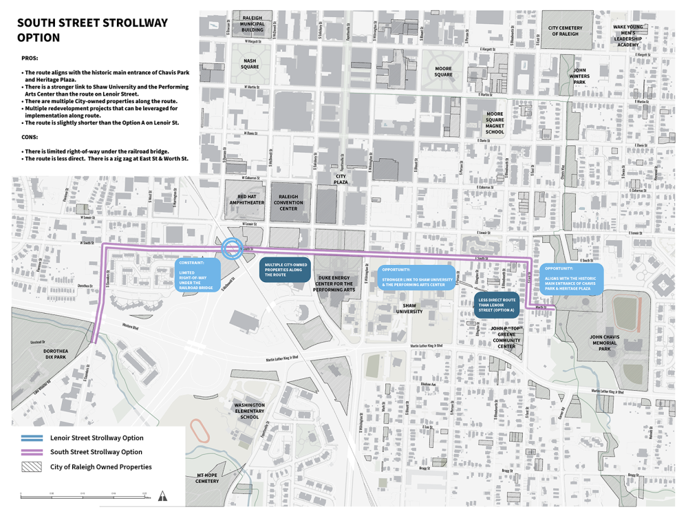
What do you like about the South Street route?
What do you dislike about the South Street route?
Which route do you prefer?
What are important points of historical and/or cultural importance in the area that should be connected by the strollway?
How did you hear about this survey?
This is hidden text that lets us know when google translate runs.