Concept Plan for Bicycle and Pedestrian Improvements along US 40 (Phase 1)
Concept Plan for Bicycle and Pedestrian Improvements along US 40 (Phase 1)
Thank you to everyone who participated in our comment period from October 19 through November 27, 2022. All comments are being reviewed by BMC staff and a stakeholder advisory committee that includes local government agencies, a consultant team, and other stakeholders. Feedback will be used to shape the final concept and design options. Sign up below for project updates.
Overview of the Project
Baltimore Metropolitan Council (BMC), on behalf of the Baltimore Regional Transportation Board (BRTB) and Harford County, is developing a Concept Plan for Bicycle and Pedestrian Improvements along US 40 from the City of Aberdeen to the City of Havre de Grace.
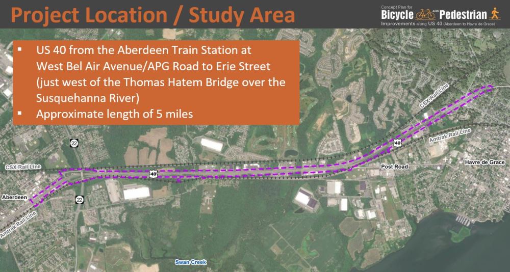
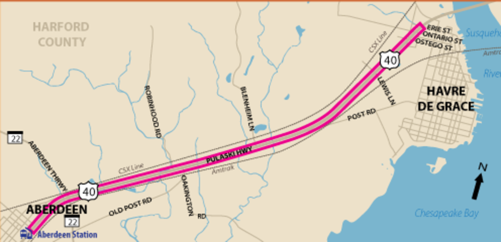
The concept plan will examine an approximately 5 mile segment of US 40 (Pulaski Highway) in Harford County, Maryland between the train station in the City of Aberdeen and Erie Street in the City of Havre de Grace. This project is located approximately 30 miles north of Baltimore and 20 miles south of Elkton, MD. The corridor serves a diverse traffic mix including local traffic in the Aberdeen/Havre de Grace area, long-distance commuter traffic destined for downtown Baltimore, regional traffic destined for Elkton and freight traffic. The roadway is a divided four-lane principal urban arterial with speed limits varying between 30 and 55 miles per hour and carries over 30,000 vehicles a day.
Goals of the Project
- Develop a concept level design of an asphalt shared-use path along US 40 that is comfortable, convenient, and safe to create a low-stress multi-modal connector to transit and neighborhoods
- Outline strategies for wayfinding
- Develop an implementation and maintenance strategy
This concept plan will be used to develop future phases of design/construction and may be used to guide design standards for future development along the corridor.
Exploring Alternative Options
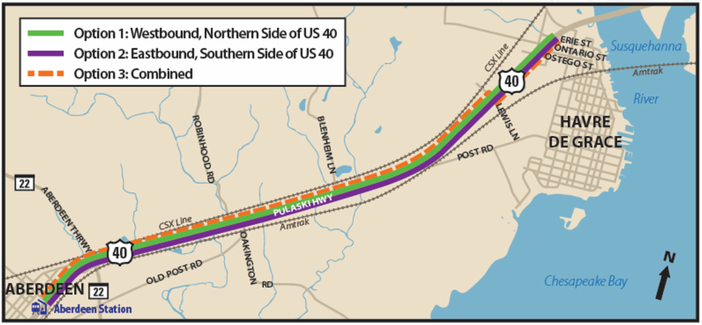
As part of the process to develop this Concept Plan for Bicycle and Pedestrian Improvements along US 40, three potential concept options have been developed. These are the Westbound Option, the Eastbound Option, and the Combined Option, which can be viewed in the map below.
The proposed shared-use path for all options would be asphalt, 10 feet in width (8 foot minimum where necessary due to constraints), and include a grass buffer between the shared-use path and edge travel lane.
Click continue below or on the tabs above to learn more.
Public Meeting: Concept Plan for Bicycle and Pedestrian Improvements along US 40
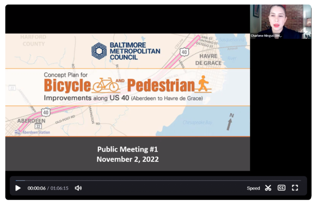
On Wednesday, November 2, BMC hosted a virtual public meeting to learn more about this project and the different options for creating bicycle and pedestrian access along this corridor.
Check out a recording of our virtual public meeting below or view a PDF of the presentation:


