Welcome to the Phoenix Arts & Innovation District Virtual Public Engagement Page!
Thank you for joining us as we work together to shape the future of the Phoenix Arts & Innovation District. This exciting project aims to develop a Transit-Oriented Development (TOD) Master Plan and Zoning Overlay, providing a framework for growth and transformation that aligns with the community’s needs and aspirations.
Your input is invaluable. We want to hear your thoughts, ideas, and concerns as we craft a vision that reflects the vibrant character of this area. Through collaboration, we can ensure this plan fosters accessibility, innovation, and sustainability while enhancing the quality of life for everyone in our community.
Explore the resources provided, share your feedback, and be a part of this transformative journey. Together, we can create a thriving district that supports a dynamic future for the Phoenix Arts & Innovation community.
Phoenix TOD Master Plan Development Process Overview
Learn how community input and collaboration shaped the Phoenix TOD Master Plan! This video shares the project’s background, public engagement process, and resulting vision.
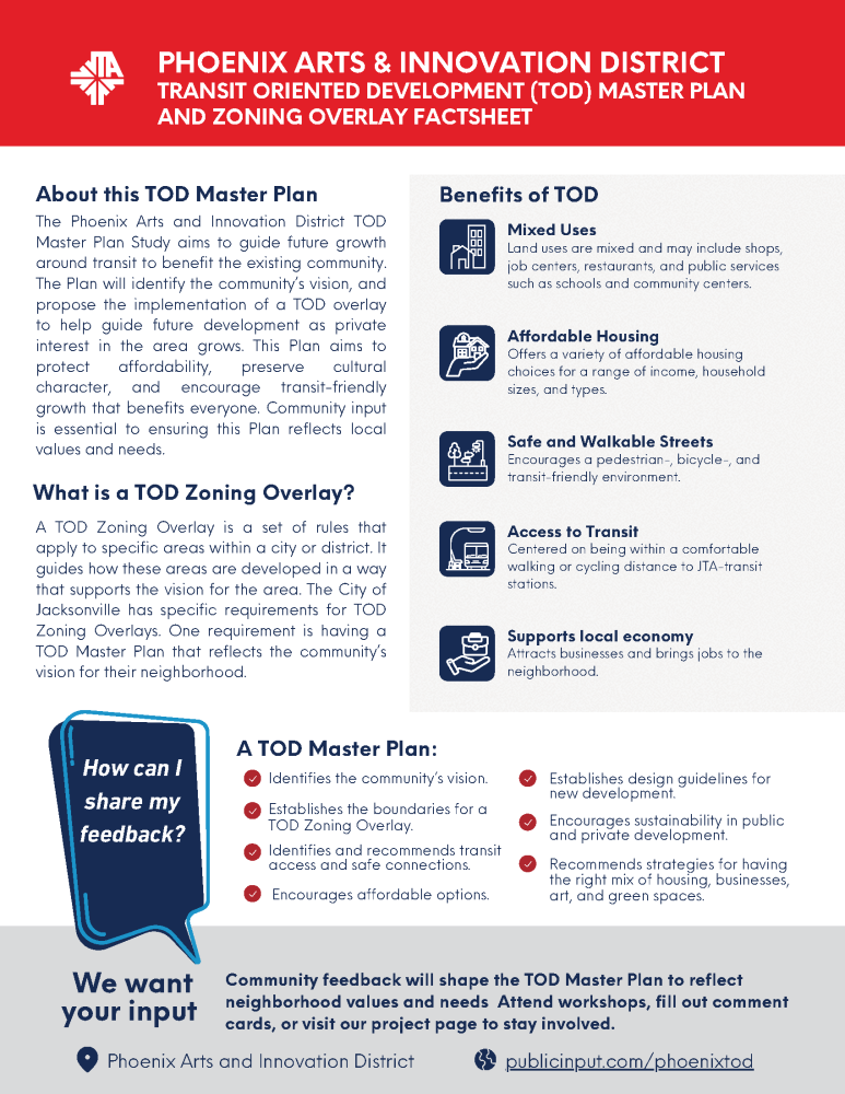
What are a TOD Master Plan and Zoning Overlay?
Master Plan and Zoning Overlay Factsheet
Explore the TOD Master Plan Vision Document, which shows the proposed concepts and visuals for how transit-oriented development could take shape across the community.
What is Transit Oriented Development?
The following video walks through the concept of transit oriented development, explaining the benefits to the community. Click below to watch and learn more about what transit oriented development is to gain an understanding of the foundational concept behind the Phoenix Arts + Innovation District TOD.
