What does 2020 Census data mean for public engagement?

As the nation’s leading provider of quality data about its people and economy, the US Census Bureau will be releasing its decennial data this fall. What does that mean for government organizations’ public engagement efforts?
Integrating 2020 Census Data Into Plans & Programs
Once 2020 Census data is released, government organizations will have a once-a-decade opportunity to more clearly understand some of the characteristics of their communities. Working hand in hand with the annual estimates found in the 5 year American Community Survey (ACS) averages, here is a a shortlist of plans and programs that new Census data could influence:
Community Profile Updates
Public engagement practitioners from all government organizations can capitalize on federal funds by deploying a comprehensive approach to planning. A heavy reliance on community profiles that “paint a picture” of the planning area often sources US Census data to inform the strategies and approach for public outreach and engagement.
Featured in a variety of planning documents from long-range plans to Title VI programs, community profiles document the characteristics of a community. For transportation agencies like MPOs, DOTs, and Transit, the Center for Urban Transportation Research states that community profiles are essential in establishing “a summary of baseline conditions and trends in a community and study area…” by creating a context for impact assessment and project-based decision-making.

Limited English Proficiency Plan Updates
Frequently tied to federal funding compliance, Limited English Proficiency (LEP) plans are developed using community data like the US Census. Each LEP plan is developed by analyzing the proportion of people experiencing linguistic isolation and incorporates a plan to ensure that those identified have meaningful access to federally funded programs and activities.
The upcoming opportunity to pair US Census 5 year American Community Survey (ACS) averages on language with the new 2020 Census population data will be an important opportunity to understand a community’s language diversity.
Updated Environmental Justice Analysis
Analysts working to determine the existence of differential impacts must begin this inquiry through the identification of population groups that include the characteristics of race/ethnicity and income within a geographic area. Similar to the LEP plans, the 5 year ACS data has been the most recent source of information for this work (the race characteristic in particular) since the last release of data from the US Census in 2010.
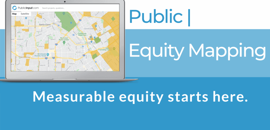
Start reaching residents on day one of any project with 2020 Census Data back by the EPA:
Contact Us to learn more!


