Centralized, Streamlined,
& Impactful
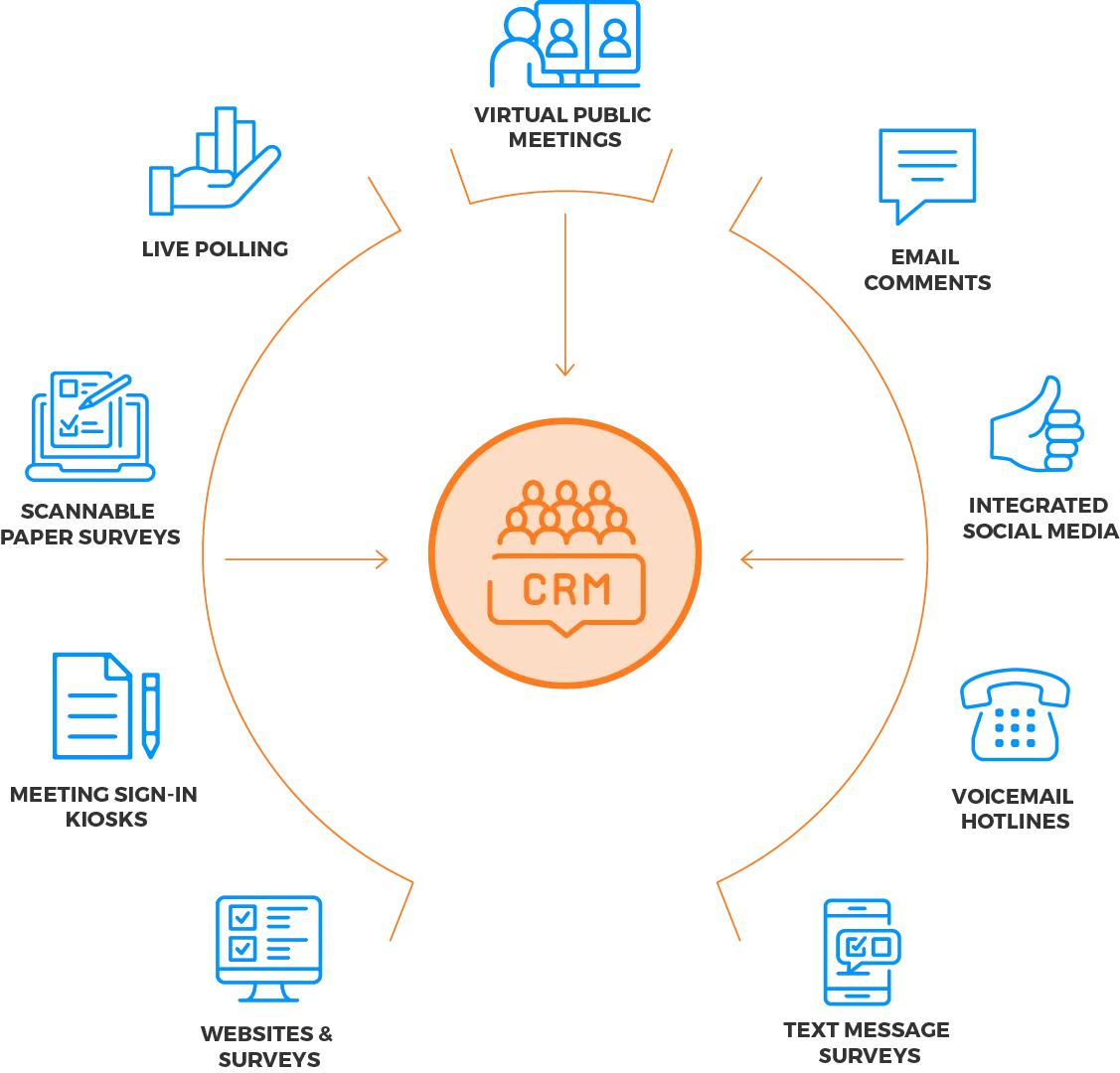
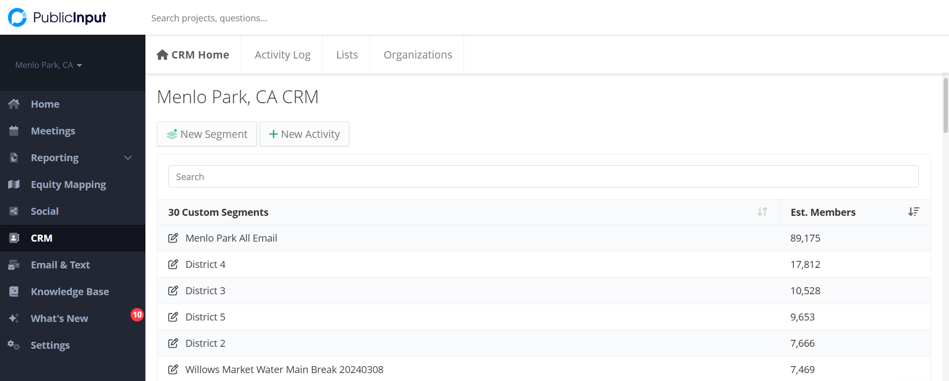
Managing resident engagement across multiple disconnected tools leads to lost feedback and missed opportunities. PublicInput solves this by automatically unifying all comments, meetings, and survey responses into one clear, searchable system. This gives your team real-time insights into who’s participating, what matters to them, and when to engage, eliminating guesswork. PublicInput streamlines follow-ups and reporting, helping your community see the impact of their input and building trust. By providing a shared source of truth across departments, it keeps teams aligned, fosters collaboration, and enables confident, data-driven decisions based on dynamic reporting and live trends.